-40%
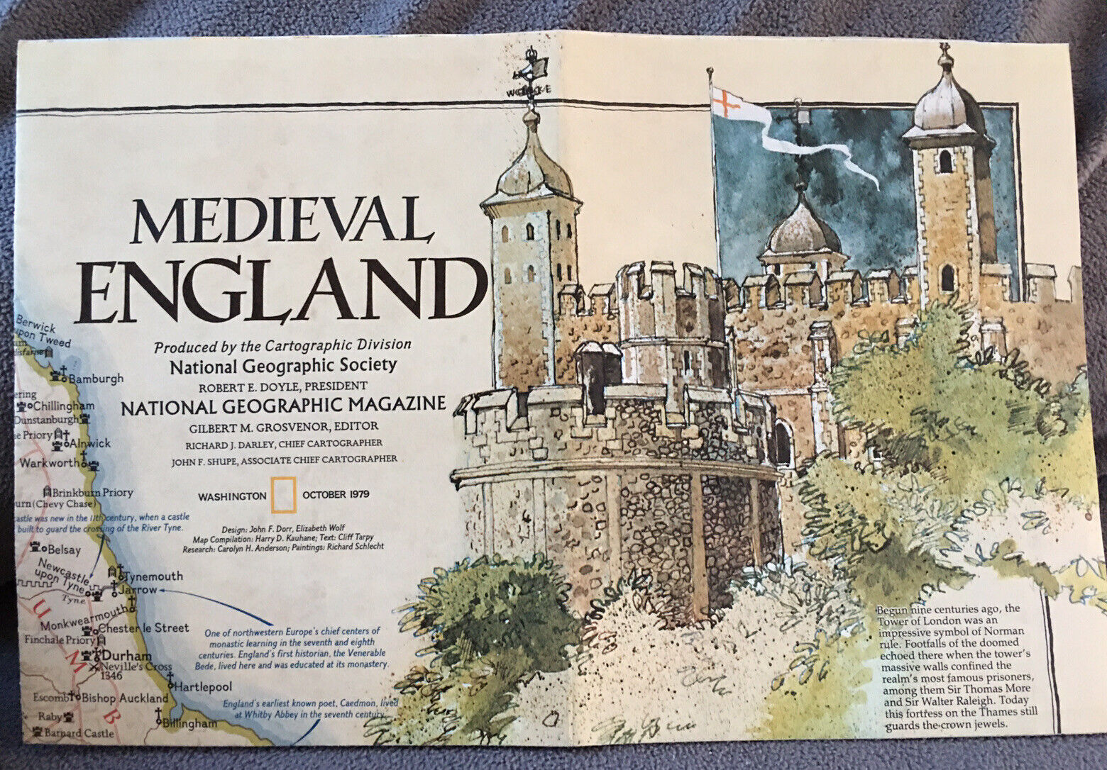
October 1979 Map from National Geographic Medieval England
$ 3.56
- Description
- Size Guide
Description
October 1979 Map from National Geographic Medieval England.ORIGINAL
OCTOBER 1979 (2 Sides) National Geographic MAP titled,
MEDIEVAL ENGLAND (Side 1) / BRITISH ISLES (Side 2),
Size 29 1/2 x 22 3/4 Inches.
SIDE 1: Five (5) Map Insets Including:
Counties of England and Wales
Counties of Ireland
Districts of Northern Ireland
Regions of Scotland
Shetland Islands
SIDE 2: Twelve (12) Map Insets Including:
Battle of Hastings
Canterbury Cathedral
Durham Cathedral
England in the Eighth Century
Henry II's Empires, 1154-1189
Historical Introduction
King's College Chapel
Knights
Scotland
The Social Ladders
Tower of London
Vikings
See photos for details. From a clean and smoke free home. Super lightning fast shipping!
