-40%
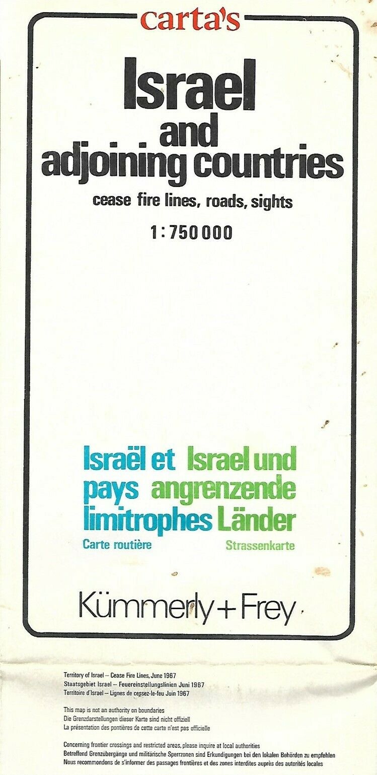
Carta Map ISRAEL 1967 Cease Fire Lines Sinai Gaza Jordan Suez Jerusalem Lebanon
$ 5.27
- Description
- Size Guide
Description
Large-format fold-out map of Israel and adjoining countries showing roads, points of intrerest, and the June 1967 cease fire lines.This map opens up to 92 x 77 cm [36¼" x 30¼"] and is drawn on a scale of 1:750,000.
The coverage area extends from Beirut to As Sawrah, Tabuk, Saudi Arabia and west to El Faiyum, Egypt, including Haifa, Tel Aviv, Jersualem, Gaza, Sinai Peninsula, Gulf of Suezl, Damascus, Cairo, Amman, and the Dead Sea, with topography drawn in relief.
It was compiled and printed by Kümmerly & Frey, Bern, Switzerland and distributed by Carta, Jerusalem, Israel. It is identified in the upper margin as the 1975 edition.
Condition:
This map is in very good condition, with a few faint spots and
no
rips, tears, or writing. It is blank on the back, with no printing on the reverse side, and it folds to 9" x 5¼". Please see the scans and feel free to ask any questions.
Buy with confidence! We are always happy to combine shipping on the purchase of multiple items — just make sure to pay for everything at one time, not individually.
Powered by SixBit's eCommerce Solution
