-40%
2 Old Maps! 1968 Alexandre Humboldt Carte Generale du Royaume de la Nouvelle
$ 20.06
- Description
- Size Guide
Description
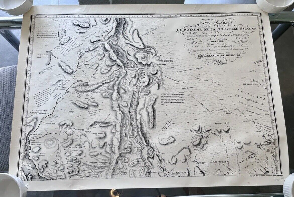
1968 Alexandre Humboldt Carte Generale du Royaume de la Nouvelle Espagne. Part 1 AND Part 2.2 Page Historic Maps - 1968 Alexandre Humboldt Carte Generale du Royaume de la Nouvelle Espagne. Both measure 29x21
Made to accompany his Political Essay on the Kingdom of New Spain, Humboldt’s “General Map of the Kingdom of New Spain” was composed from archives in Mexico City and Washington, DC. His map details the coastal areas of Texas and marked the interior as unknown country (pays inconnus). Humboldt also extends Texas’s borders beyond the Sabine River, though he recognized that these limits had not been approved by the United States’ Congress.
Marked Copyright 1968 By Western Trails Corporarion. And handwritten SM-38.
Small tears & wrinkles around edges & larger tear on left side edge.
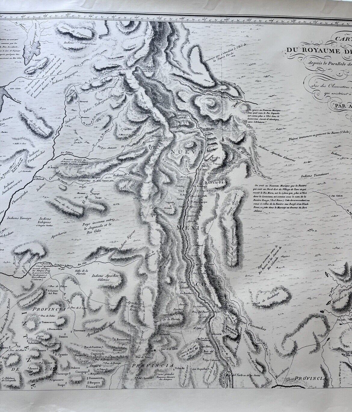
Part 2 -
First French edition with 1808 Mark. This map is the 2nd sheet of the important "Carte Generale du Royaume de la Nouvelle Espagne", originally drawn by Humboldt in 1803-4.
Marked Copyright 1968 By Western Trails Corporarion. And handwritten SM-39.
Small tears & wrinkles around edges & larger tear on left side edge. Please view photo’s as representation of condition
Please view photo’s as as representation of condition
