-40%
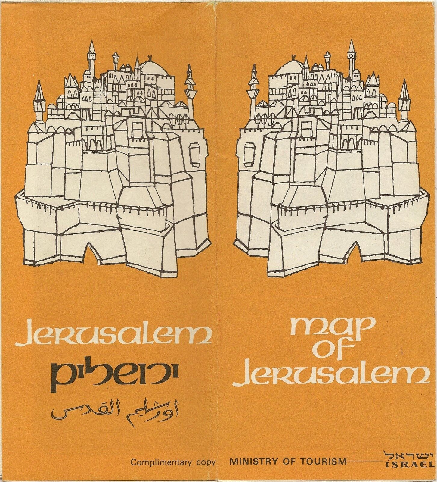
1975 Road Map JERUSALEM Israel Palestine Mount Zion Gethsemane Mosques Churches
$ 4.74
- Description
- Size Guide
Description
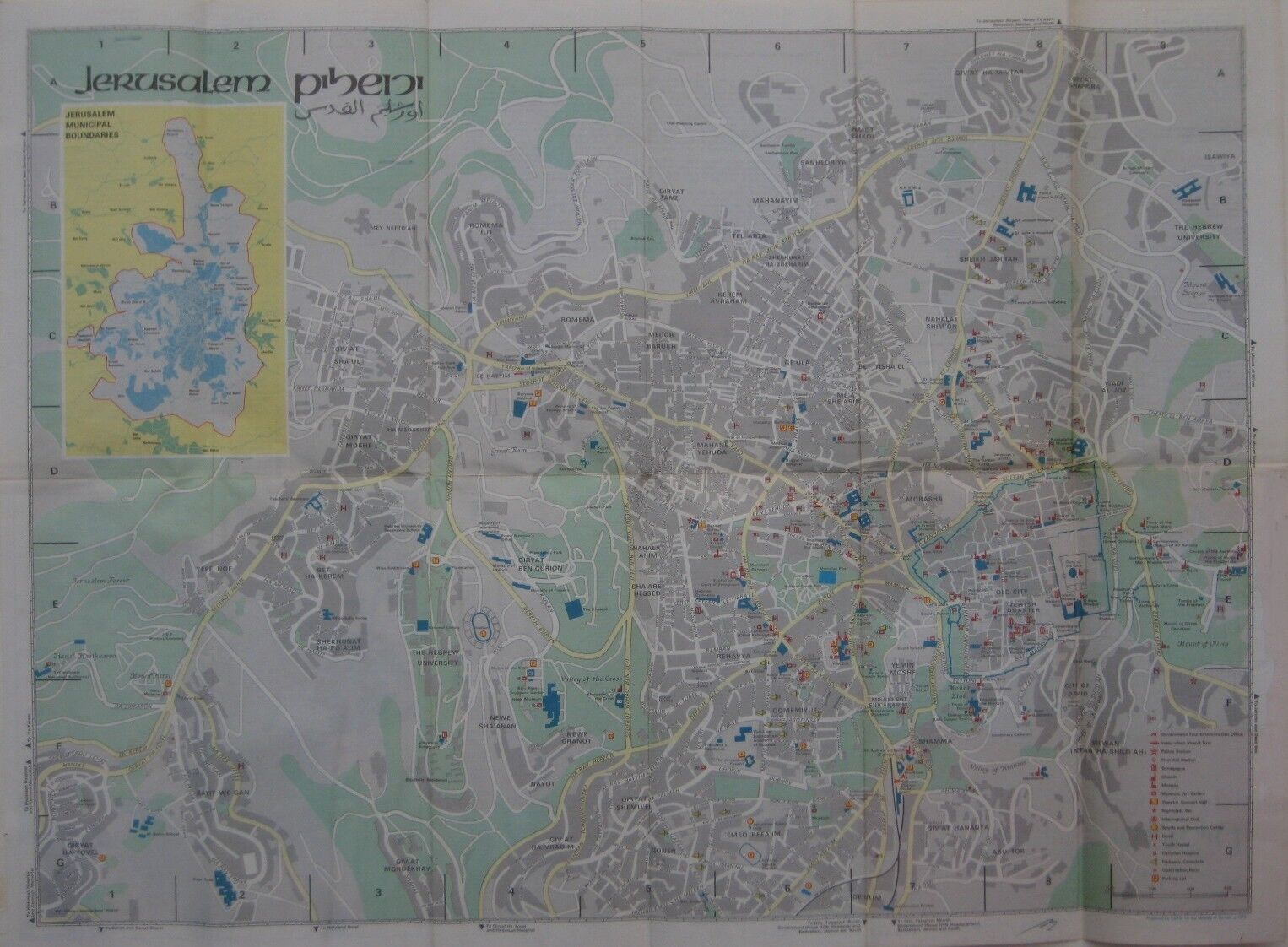
1975 Road Map JERUSALEM Israel Palestine Mount Zion Gethsemane Mosques ChurchesHandsome fold-out color lithograhed road map of Jerusalem, printed more than 40 years ago.
This map opens up to 18" x 24" and has great detail on old street alignments. It labels dozens of landmarks in this ancient city and locates synagogues, churches, mosques, museums, theaters, nightclubs, hotels, hostels, embassies, taxi stands, and more.
On the reverse side there is a directory to points of interest, a street index, and an inset plan of the Old City.
The map was prepared by CARTA for the Minstry of Tourism and is copyrighted
© 1975
in the lower margin.
Condition:
This map is in very good, lightly used condition, bright and clean, with
no
rips or tears. There is a small ink mark in the lower margin and in the lists of sports centers and youth hostels references to Ivy Judah have been blacked out. The maps folds to 9" x 4". Please see the scans and feel free to ask any questions.
Buy with confidence! We are always happy to combine shipping on the purchase of multiple items, and everything we sell comes with
our unconditional, money-back guarantee.
Powered by SixBit's eCommerce Solution
