-40%
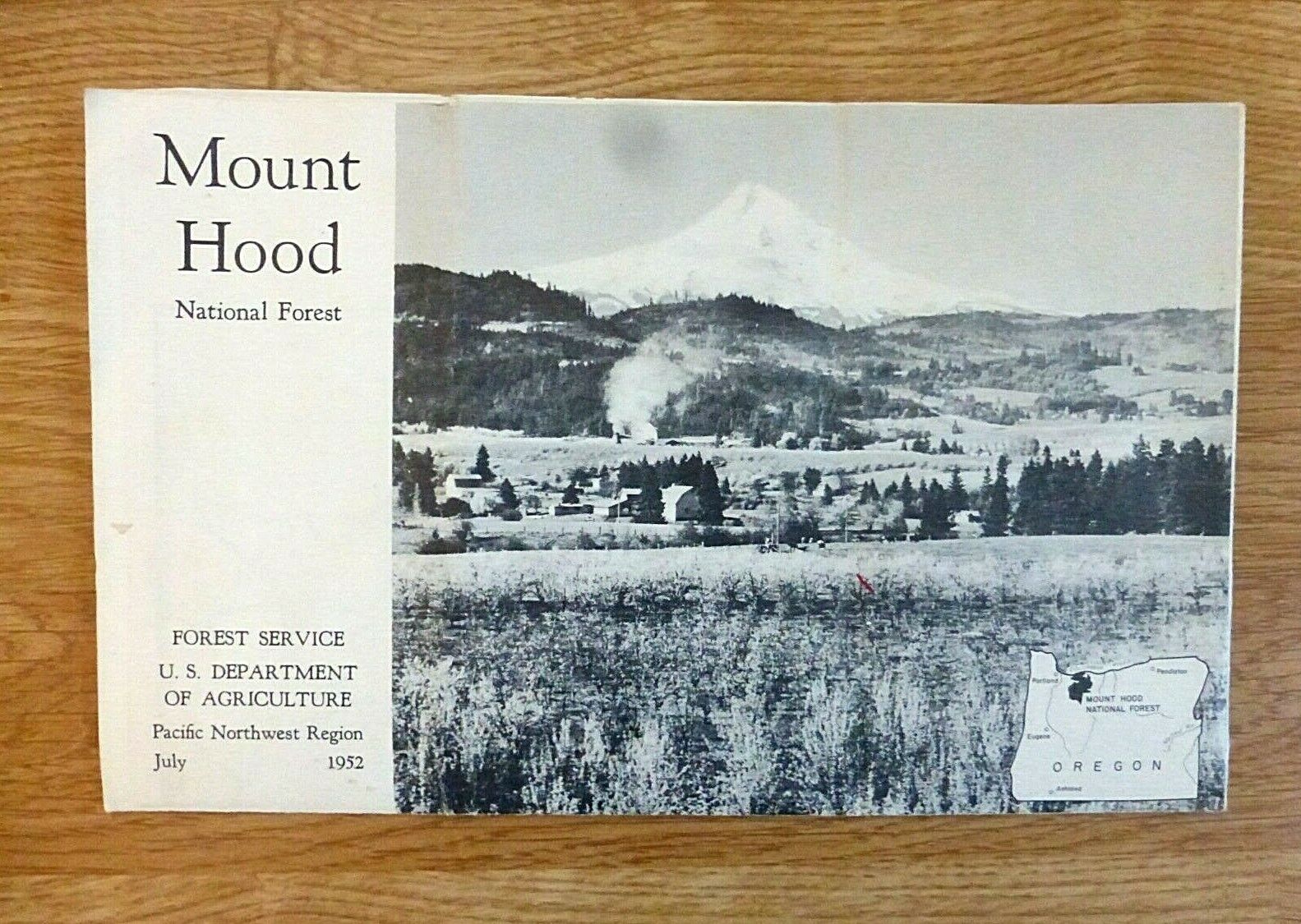
1952 MOUNT HOOD NATIONAL FOREST MAP, 19 x 24-inch Full Page Map, SUPER CLEAN
$ 3.16
- Description
- Size Guide
Description
MOUNT HOOD NATIONAL FOREST, 1952. Scale is approximately 5 miles to 1 inch.Map measures approximately 9 1/2 by 6 inches when folded and opens into an-8 panel, 2-sided document with a fabulous vintage map on one side and loads of photos & information on the other. Document measures approximately 19 by 24 inches when opened.
Several photos are of the lumber industry. There is even an old 'wigwam' burner in operation in the distant foreground of the front page photo of the mountain.
Map is in VERY GOOD PLUS condition. A bit of creasing and a couple of light stains. There are a couple of small splits at seam edges -- not bad at all
. No writing.
THIS IS A VERY PRESENTABLE MAP THAT YOU WILL BE PROUD TO OWN AND DISPLAY.
See Photos... There is a light brown stain on each of my photos from dust on the sensor. This comes from the camera. That mark IS NOT on the item.
Money back returns if the buyer contacts me within 30 days of arrival if you are unhappy with this item.
Buyer to pay for .00 for USPS economy shipping in the United States.
International buyers are welcome.
I reserve the right to NOT ship to South America due to delivery issues.
Bid with confidence. I have been a successful eBay seller since 1999!
Be sure to check MY OTHER AUCTIONS for more great vintage paper items AND phonograph records.
